The land around Princeton
Princeton grew up around Big Spring, which flows out of a cave downtown, and that is a fair hint about the ground. Southern and western Caldwell County lie on the same sinkhole plain that runs east to Bowling Green, with sinkholes, sinking creeks and springs. Above the plain rises a sandstone escarpment, a line of capped hills 150 to 200 feet high. Cedar Bluff, a landmark on the escarpment near Princeton, stands at 680 feet.
The county also sits partly in the fluorspar district, where faults show up as straight ridges and sinkholes lined up in rows. Toward the Tradewater the land turns into coal field hills and bluffs. A Princeton tract can be karst pasture, escarpment slope or both.
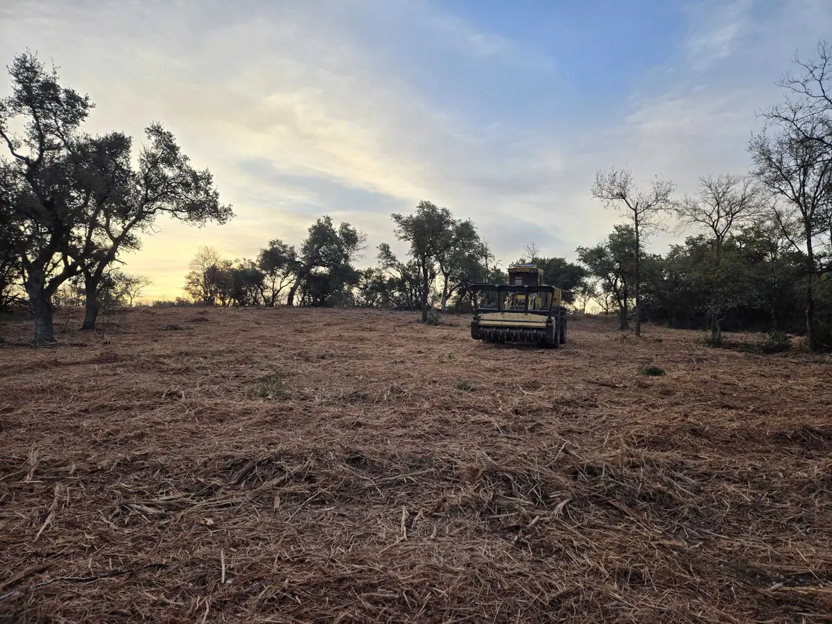
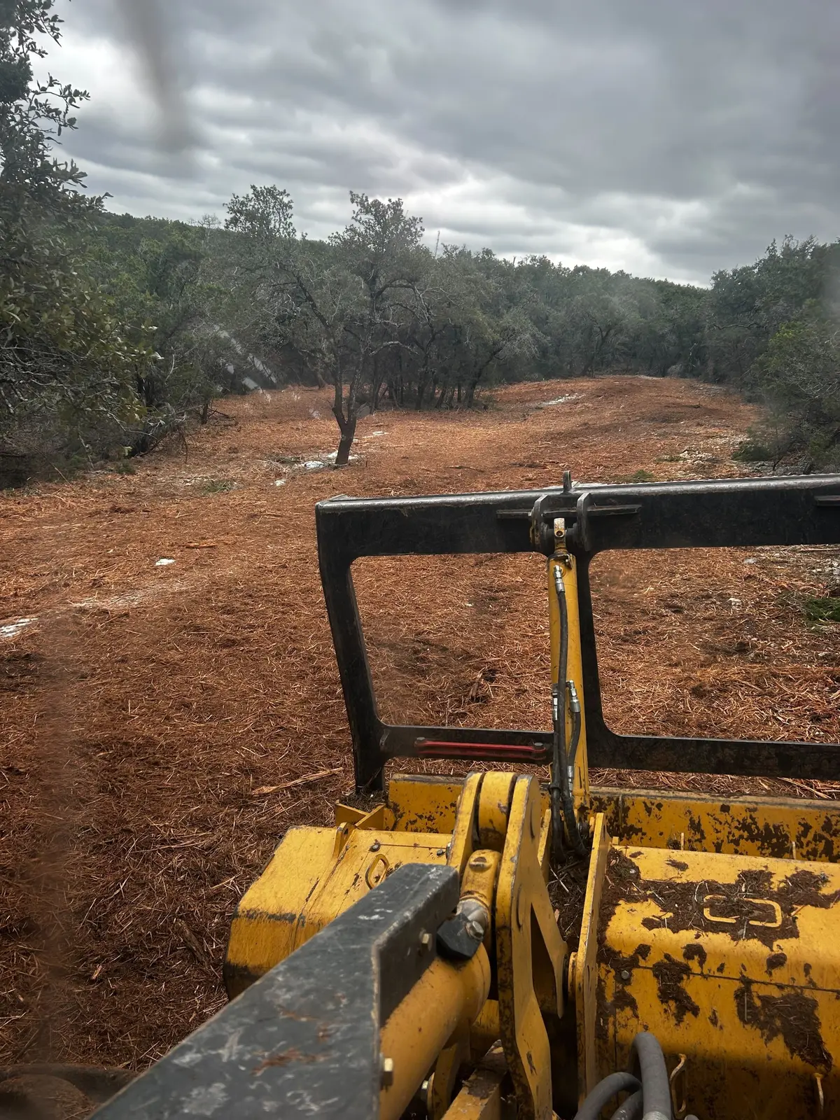
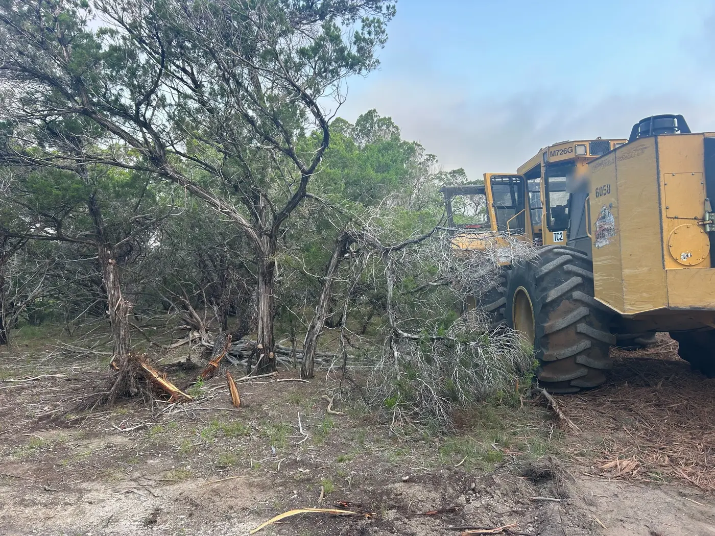
Caldwell County is crop country. In the 2022 Census of Agriculture, 92 percent of farm sales from its 441 farms were crops, and woodland covered about 22,000 acres. The University of Kentucky has run a research center at Princeton since 1925. The work here is cedar pushing into limestone pasture and fence rows, field edges, and wooded hill ground cleared for hunting.