The land around Frankfort
Franklin County straddles the Inner and Outer Bluegrass, but what you notice is the valleys. The Kentucky River sits 350 to 400 feet below the uplands, and Elkhorn and Benson Creeks run in entrenched, winding valleys. Old abandoned meanders left hills standing inside dry loops, like The Backbone on Elkhorn and Fort Hill in Frankfort. Ridges top out between 850 and 930 feet.
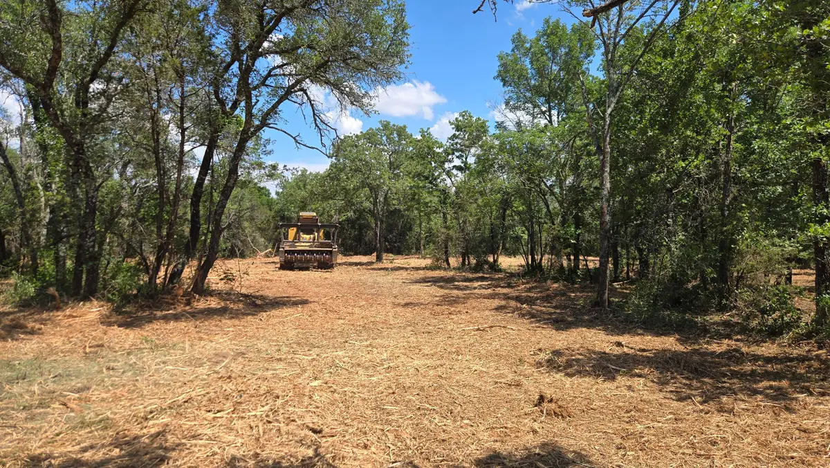
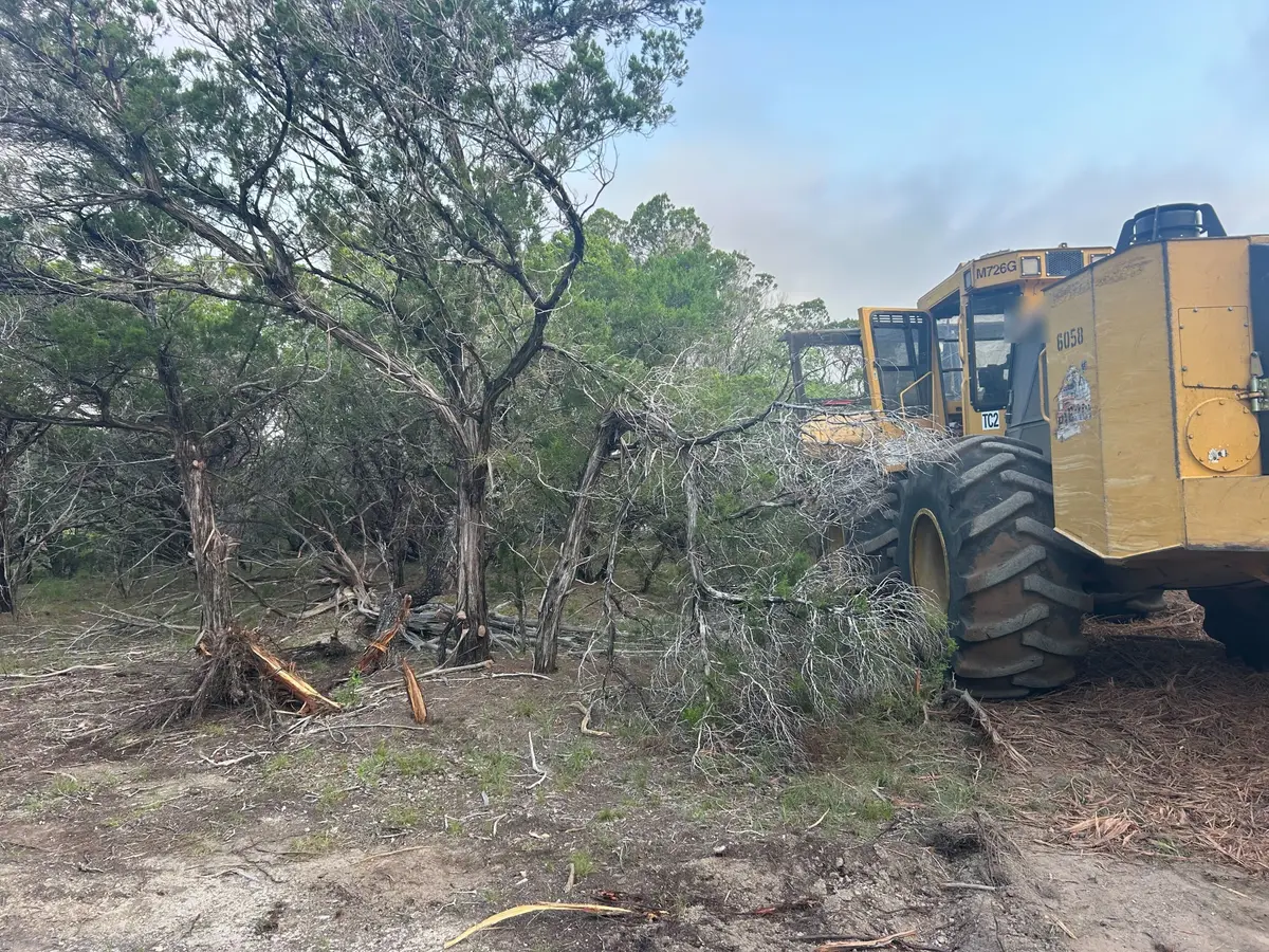
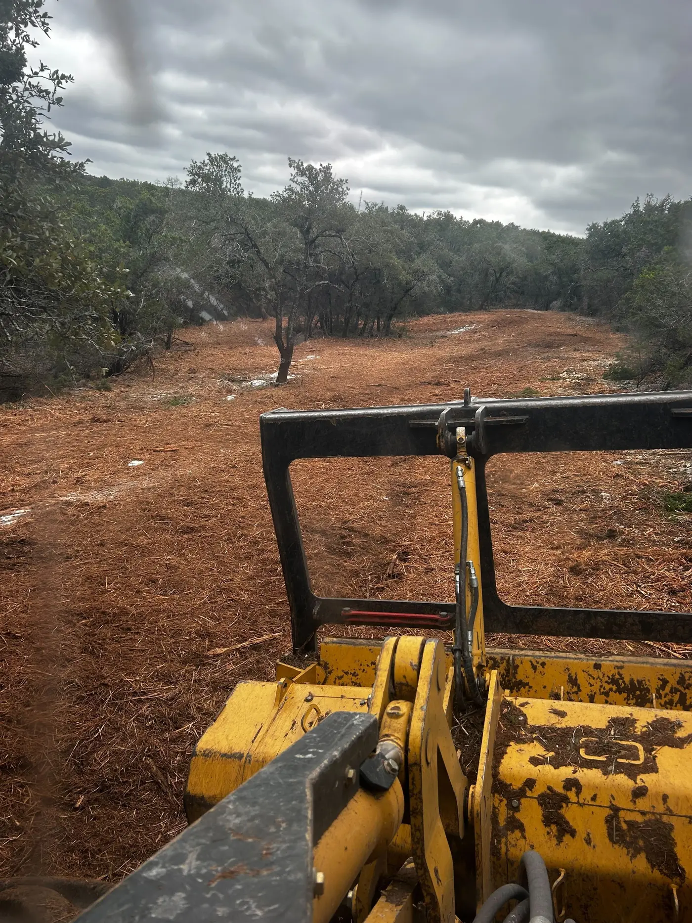
That much slope means woods. The 2022 Census of Agriculture counted about 13,700 acres of woodland on Franklin County farms, more than a fifth of their 63,600 acres, and cattle led livestock sales. Farms average about 120 acres, smaller and rougher than the Woodford and Fayette horse farms, and wooded ridge ground like this is what people buy for hunting or a house with a view.
The bottoms are a different risk. In April 2025 the Kentucky River crested at 48.27 feet at the Frankfort lock, inches below the 1978 record. Work on low ground along the river and the Elkhorn needs dry weather and, in the floodplain, a state permit.