The land around Shelbyville
Shelby County is Outer Bluegrass: rolling to hilly ground with about 100 feet of relief, sitting on Ordovician limestone and shale with Silurian dolomite capping some ridges. Brashears and Guist Creeks have cut valleys about 100 feet into it. The odd one out is Jeptha Knob near Clay Village, a ring of hills rising some 300 feet to 1,188 feet, the highest point in the county and a geologic structure whose origin is still argued over.
This is a working crop county. In the 2022 Census of Agriculture, Shelby had 1,350 farms on about 160,000 acres, and crops brought in 77 percent of sales, most of it grain. It also bills itself as the American Saddlebred Capital of the World, and it carried about 25,000 cattle.
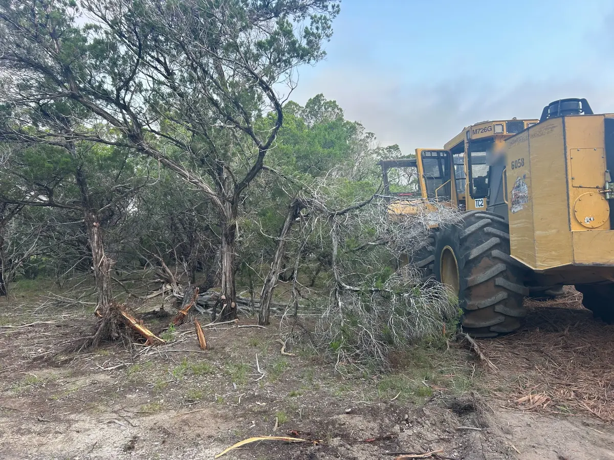
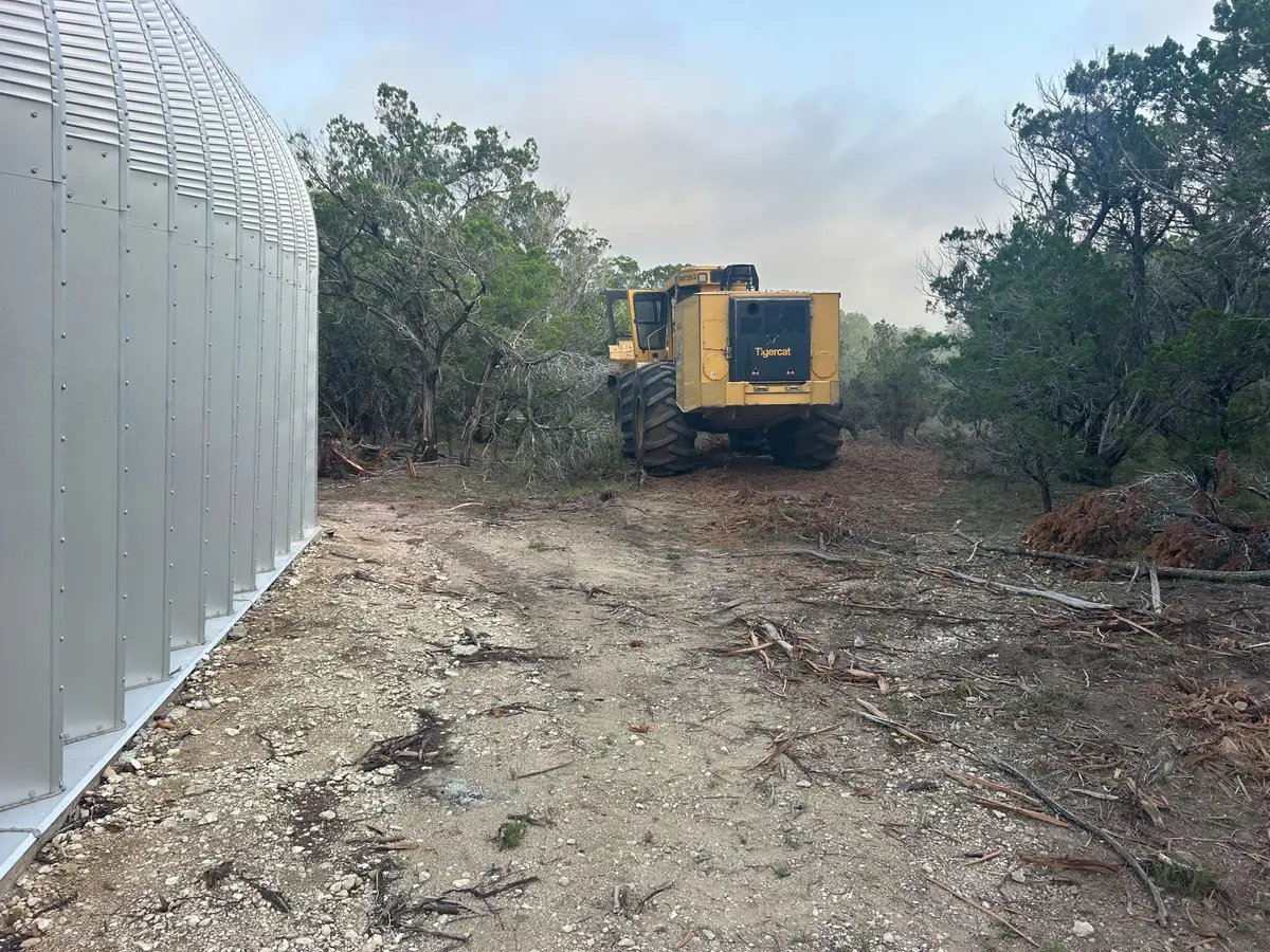
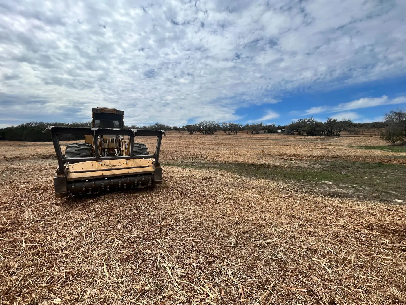
On crop ground, every foot of field edge counts. Fence rows and hedgerows creep into the field, shade the outside rows and catch the equipment. Most calls here are about pushing those edges back, plus cedar and honeysuckle in the creek draws that the plow never reaches.