The land around Somerset
Somerset sits at about 975 feet at the city square, on the Mississippian Plateau near its eastern end. The Kentucky Geological Survey says the western two thirds of Pulaski County is mainly limestone and siltstone and the eastern third sandstone and shale, with the Cumberland Escarpment crossing the southeast. The limestone side is well developed karst: KGS points to a sinkhole about 50 feet across along US 27 near Somerset and Sloans Valley Cave in the south of the county.
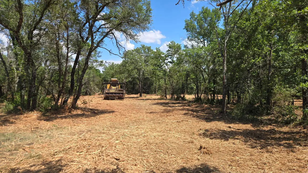
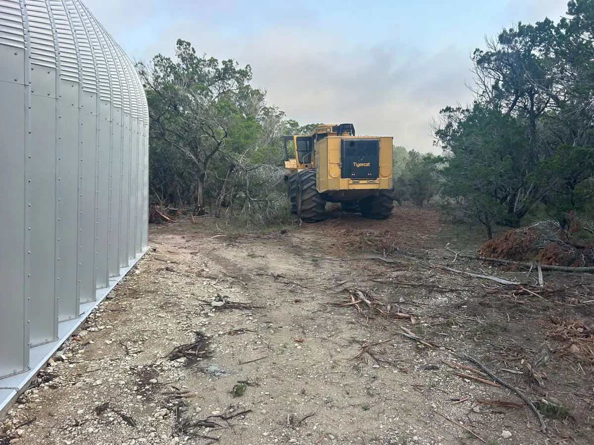
Lake Cumberland is the other half of the story. Its normal pool, 723 feet, is the lowest ground in the county, and recent housing growth has run along Fishing Creek and the main lake between Burnside and Fishing Creek. That means wooded lake lots that need opening up before a cabin, a view or a sale.
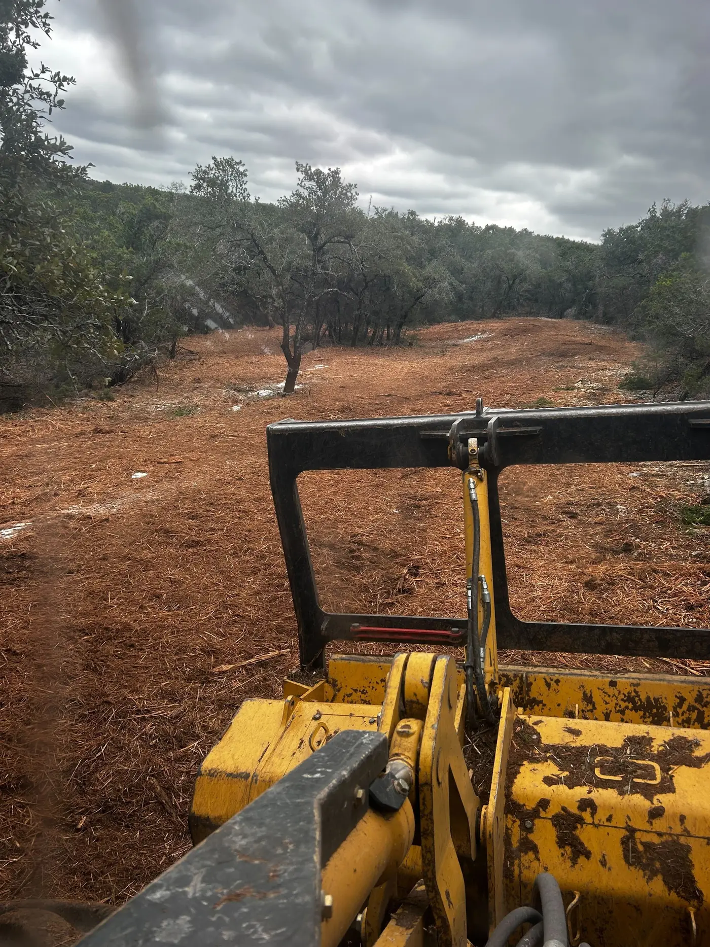
The farms are still here too. The 2022 Census of Agriculture counted 1,600 farms in Pulaski County, second only to Barren County in Kentucky, and pasture that goes ungrazed fills with brush and cedar from the fence rows in.