The land around Middlesboro
Middlesboro is built inside an old impact crater. Kentucky Geological Survey geologists describe the Middlesboro structure as a circular feature about 3 miles across, ringed by curved faults, with a central rebound where deep sandstone was pushed to the surface. What is left today is the eroded core of the crater, and the KGS says that core is the flat land the town was settled on. Yellow Creek runs across it, through a canal in downtown.
Step off that floor and Bell County is some of the steepest ground in Kentucky. The KGS notes that apart from the Yellow Creek valley at Middlesboro and a few narrow bottoms, flat land in the county is almost nonexistent. Pine Mountain runs along the north, Cumberland Mountain forms the Virginia line, and relief south of Pine Mountain can reach 1,500 feet in half a mile. The rim faults even stopped coal mines that ran into them.
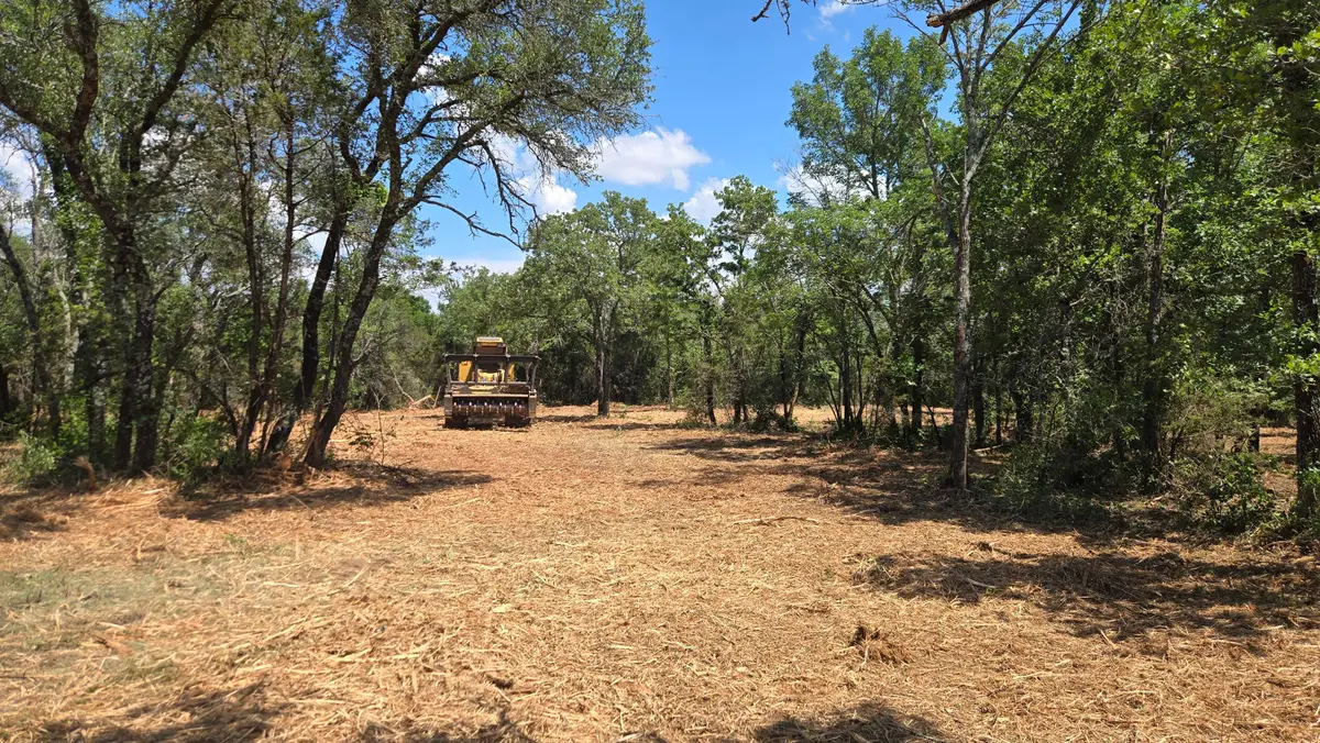
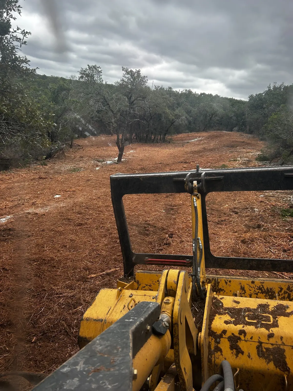
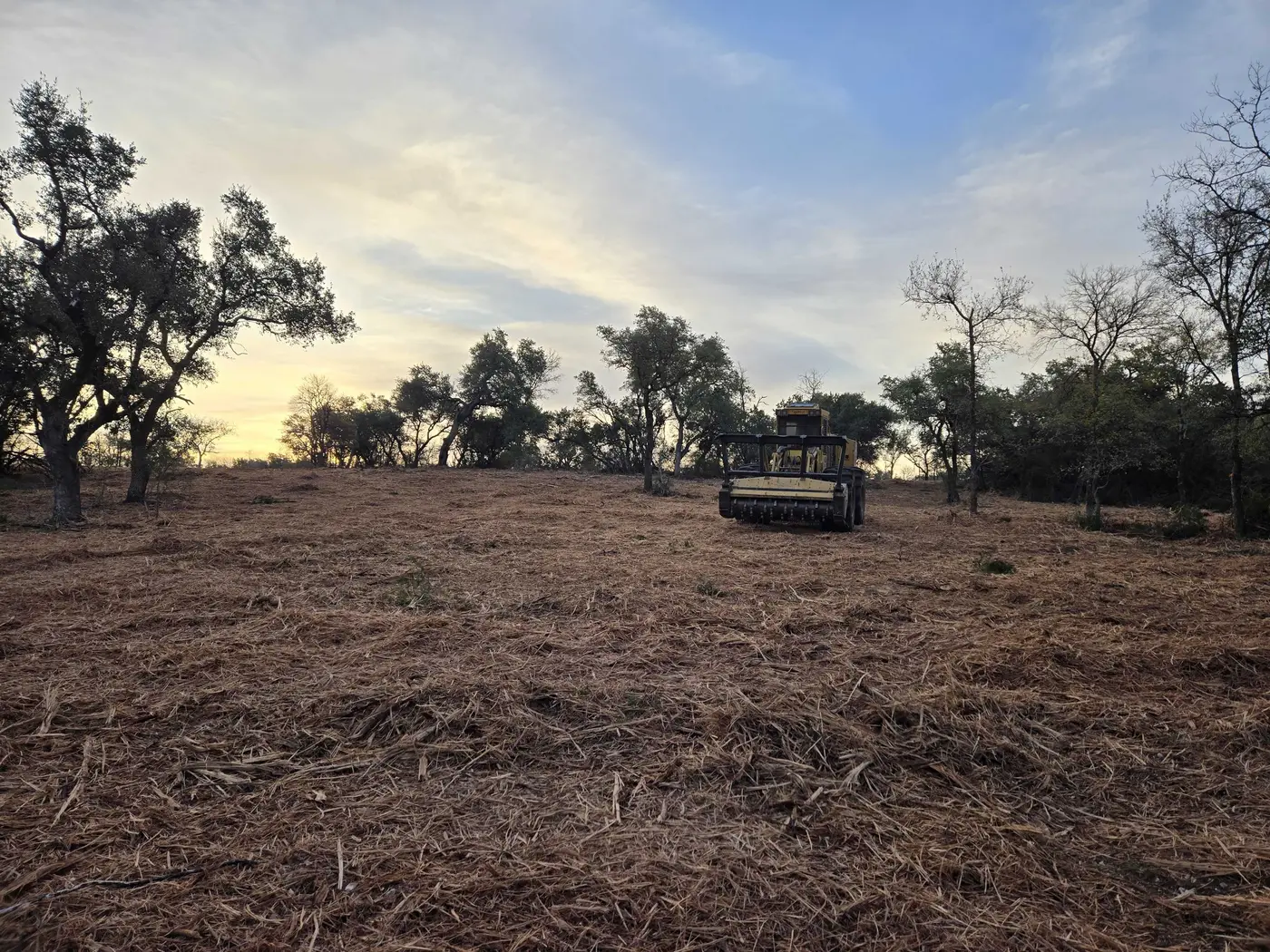
Farming is thin here: the 2022 Census of Agriculture counted 77 farms in the whole county. The clearing work is mostly lots on the basin floor, wooded hillsides being opened for a house or a view, and hunting ground. Bell County is in the state elk restoration zone.