The land around Elizabethtown
Elizabethtown sits at about 731 feet on what the Kentucky Geological Survey calls an extensive karst landscape: a gently rolling plain of springs, sinking creeks, abundant sinkholes and underground drainage, dropping west toward the escarpment. KGS warns of subsidence on that limestone and says sinkholes should never be used as dumps. East of town the ground changes to the knobs of Muldraugh Hill and the Rolling Fork valley.
This is row crop country. The 2022 Census of Agriculture counted 1,255 Hardin County farms on 188,728 acres, with crops 70 percent of sales and soybeans, hay and corn the big three. Every foot of fence row that grows into trees shades and robs the field beside it, and those rows are the most common call.
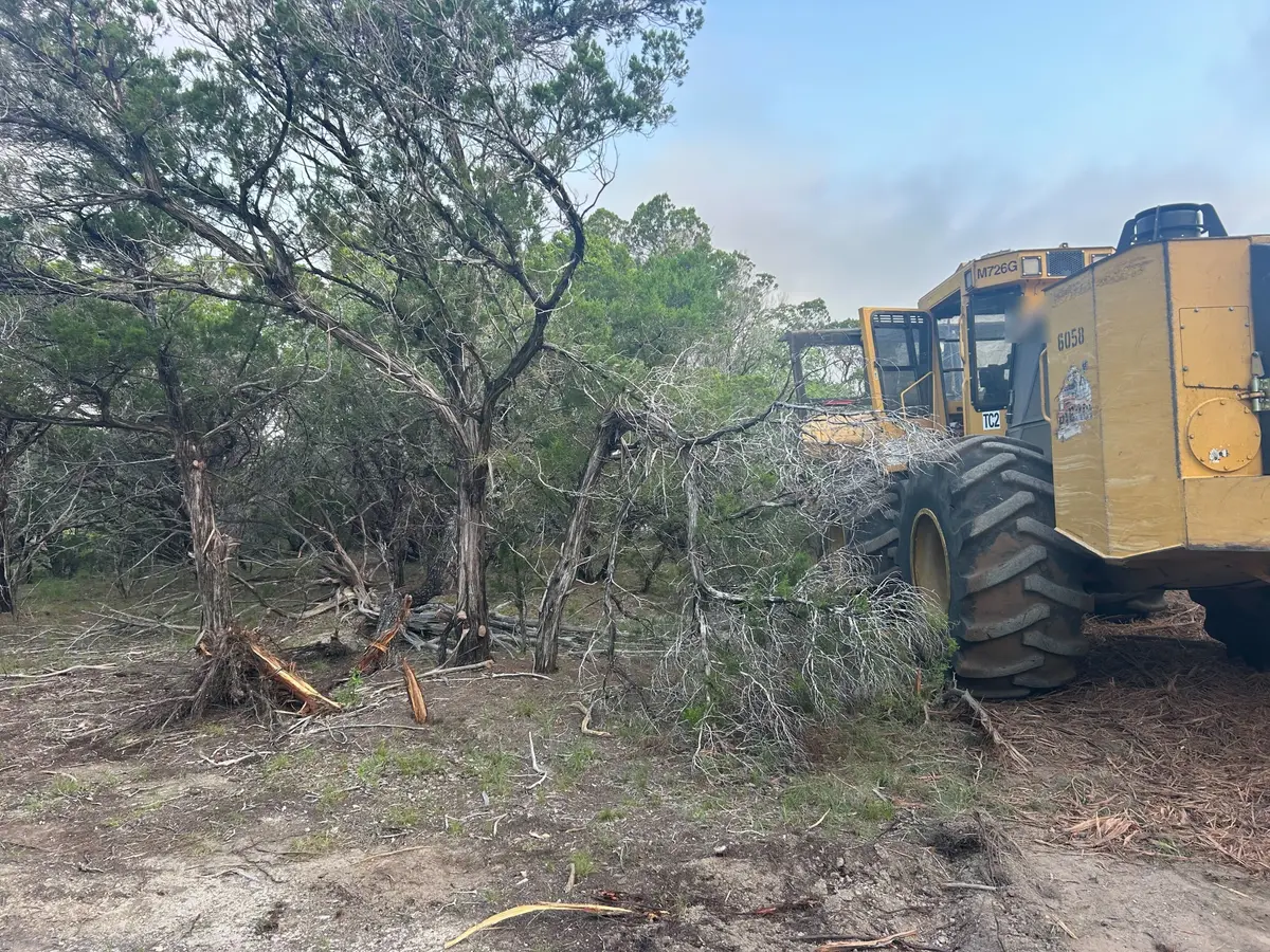
There are 34,600 acres of farm woodland too. Statewide, cedar is most abundant on limestone soils and bush honeysuckle is dense in central Kentucky woods, and both turn up along the field edges and creeks around Cecilia and Rineyville.