The land around Leitchfield
Leitchfield sits on a boundary. The Kentucky Geological Survey describes Grayson County as an upland on the west edge of the Mississippian Plateaus and the eastern edge of the Western Kentucky Coal Field, with flat topped, sandstone capped ridges and valleys cut 150 to 200 feet deep. State maps put the town on the Pennyroyal side of the line, and some sources class it with the Coal Field. Karst shows up only in places, mostly in the east of the county.
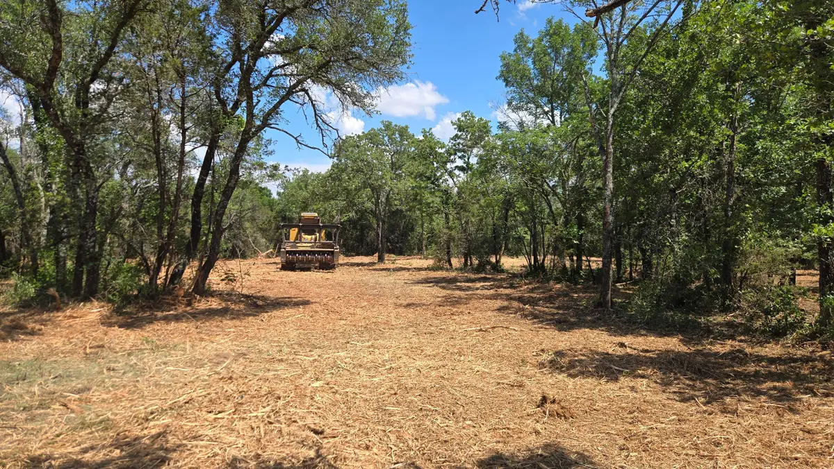
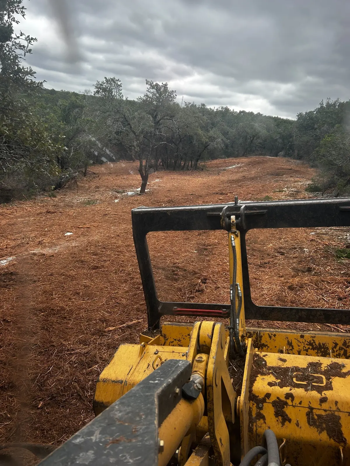
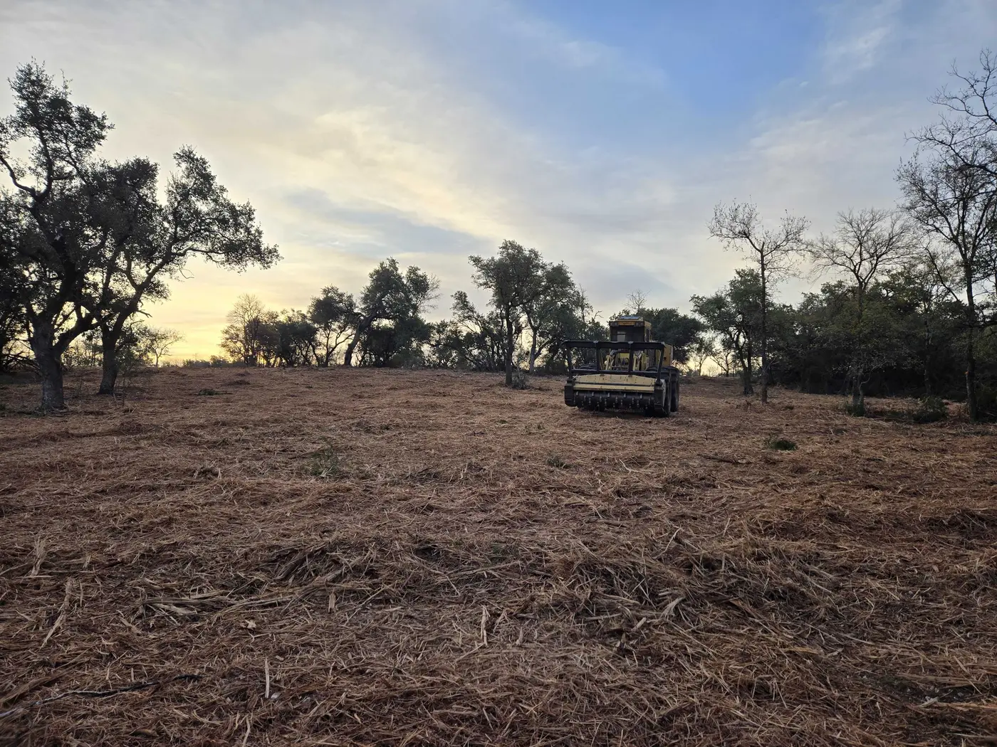
That country stayed wooded. The 2022 Census of Agriculture counted 64,077 acres of woodland on Grayson County farms, more than the 53,611 acres of pasture, alongside 37,922 acres of hay and 43,200 cattle. Plenty of those woods are worth more as hunting ground than as timber, which is where lanes, trails and plot openings come in.
Grayson County also holds two Corps of Engineers lakes, Rough River Lake and Nolin River Lake, with Leitchfield between them, so private lake lots and cabin ground are a steady second line of work.