The land around Shepherdsville
Shepherdsville sits on the Salt River at about 430 feet. The Kentucky Geological Survey describes the north of Bullitt County as flat, with commercial and suburban growth along the interstate, while the west is rugged Knobs country behind Muldraugh Hill. Individual knobs rise 400 feet or more above the Salt River and Rolling Fork, and Bernheim Forest holds more than 16,000 acres of them around Clermont.
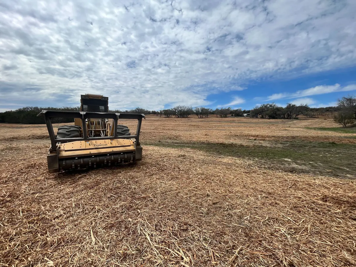
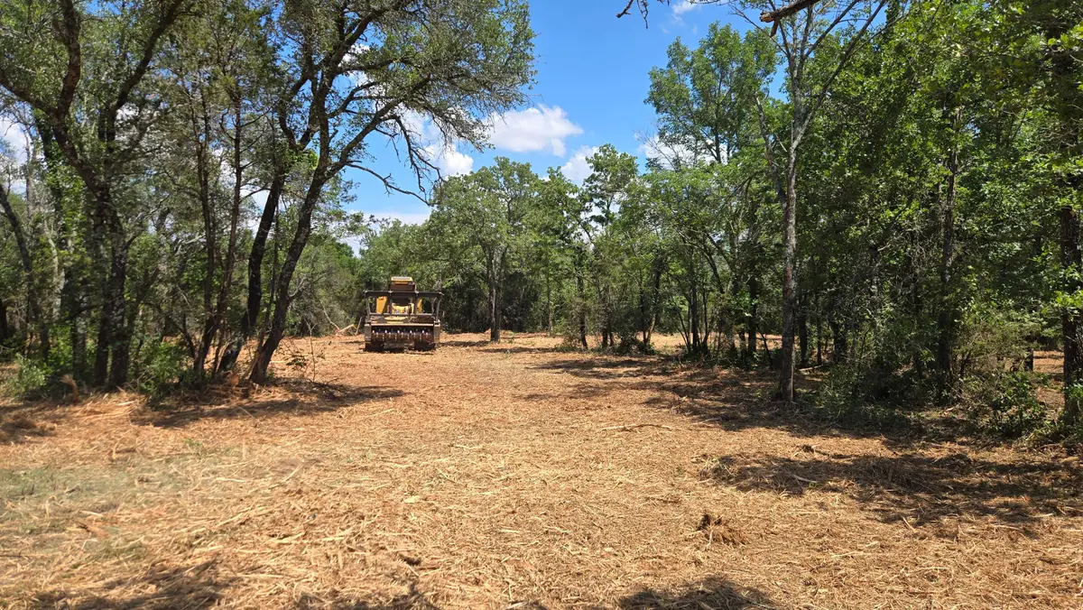
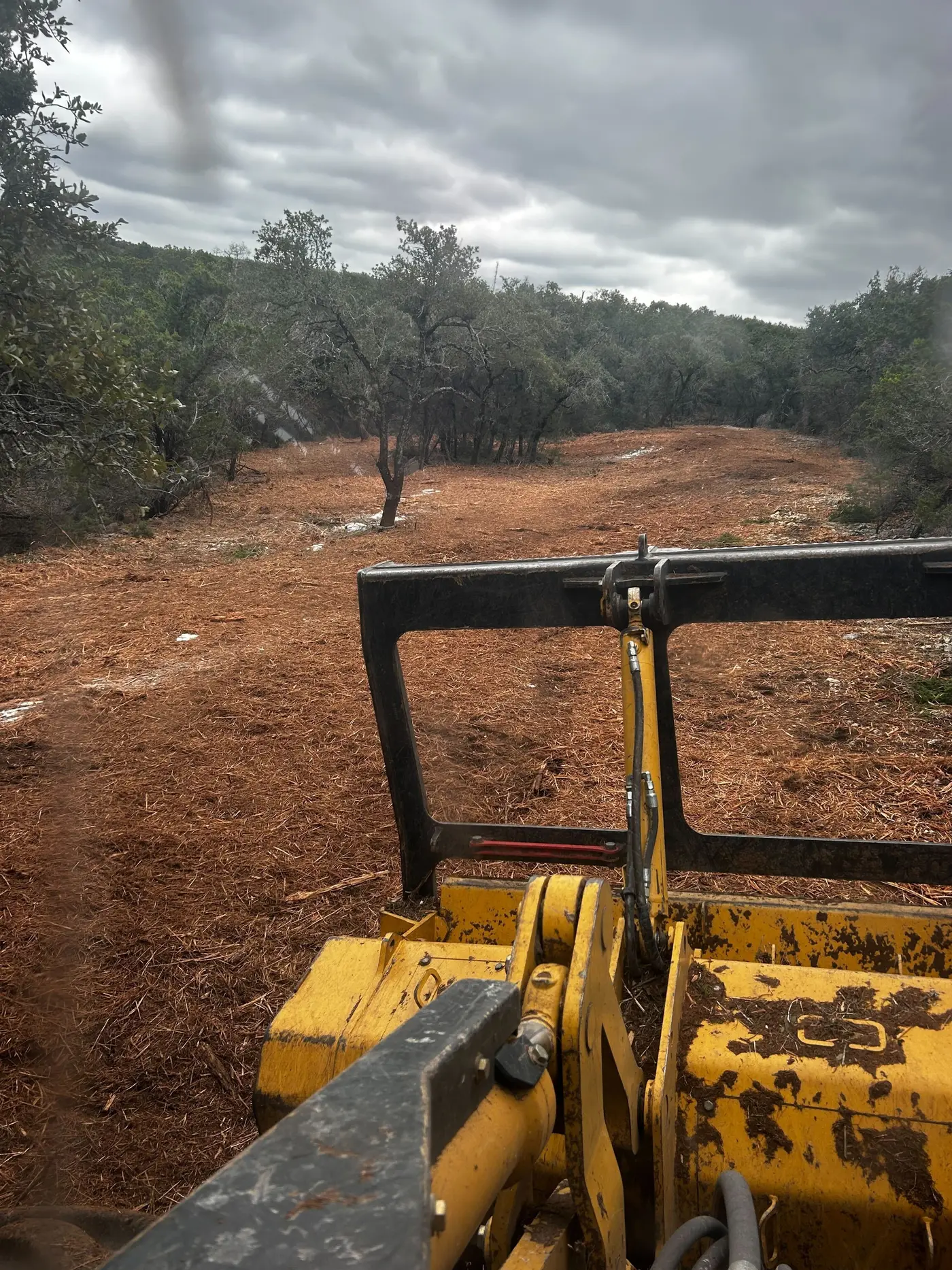
The knobs are shale and siltstone, and KGS warns those slopes slump and slide when wet and should not be cut at the toe. Down in the limestone, cover collapse sinkholes are typical in the east of the county and many have never been mapped. A mulcher suits both: it leaves roots in the hill and puts no weight on a hidden hole you have flagged.
Farming has shrunk fast. The 2022 Census of Agriculture counted 420 farms on 29,789 acres, a third less farmland than in 2017, while UPS and Walmart run big distribution sites off I-65. The land left is small farms, wooded lots and old fence rows between new subdivisions.