The land around Hazard
The Kentucky Geological Survey describes Perry County as maturely dissected mountain country, roughly half ridges and half valleys, with 600 to 800 feet of relief common. Every community sits in a valley. Hazard is on the North Fork of the Kentucky River at about 880 feet, and the ridges above it top 1,400.
That leaves two kinds of buildable ground: the narrow valley floors, and flat land left on ridges by surface mining. The July 2022 flood showed the problem with the first. It killed seven people in Perry County, and the state has since been developing high ground sites near Hazard for flood survivors, including a 50 acre site announced in 2023. Much of the high ground in the region is old strip mine land.
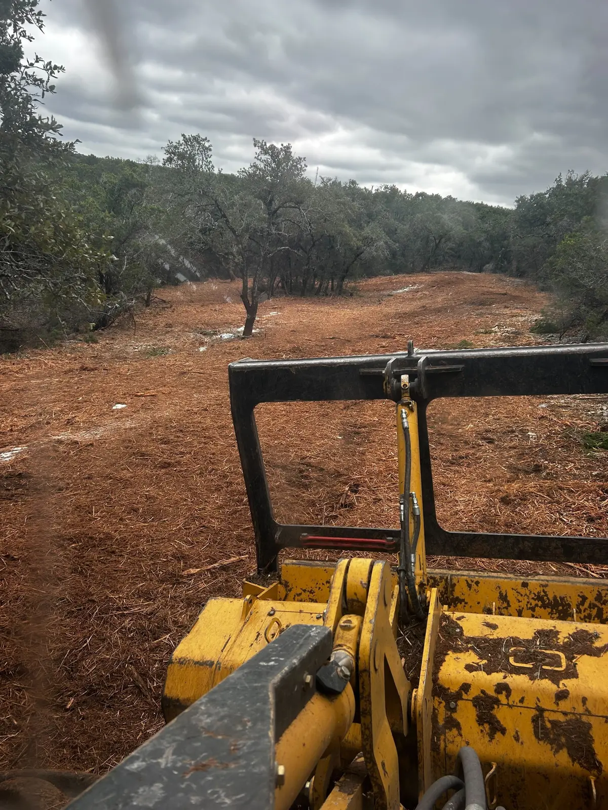
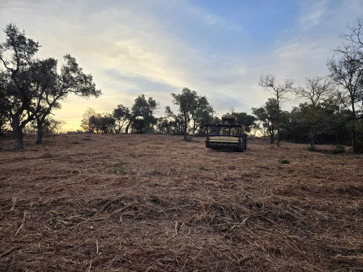
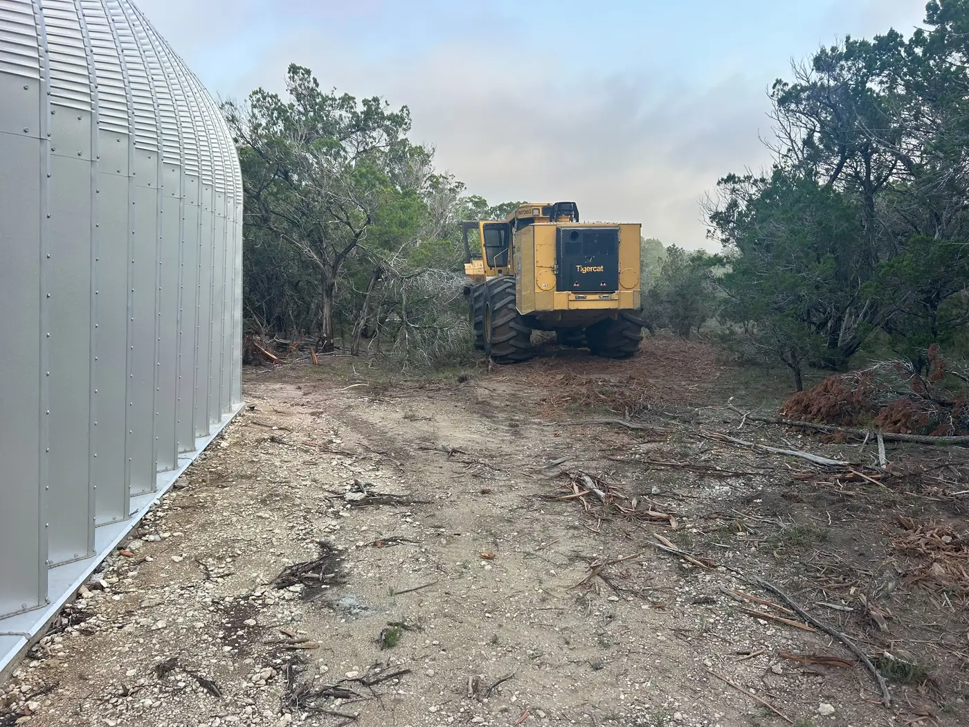
Reclaimed mine ground grows its own brush. University of Kentucky Extension says autumn olive, long promoted for erosion control and wildlife cover, is most troublesome on reclaimed mining sites, where it spreads into dense thickets. Opening a homesite or a hunting plot on a bench above Hazard often means mulching through it. Farming is a small part of the picture: the 2022 Census of Agriculture counted 53 farms in Perry County.