The land around Pikeville
Pike County is the eastern end of the Eastern Kentucky Coal Field. The Kentucky Geological Survey calls it a highly dissected upland where narrow, sharp ridges cover about as much ground as the valleys, with 500 to 800 feet of relief over most of the county. The only real flat land is in the valley bottoms, and the towns, railroads and highways already sit there. Pikeville itself is at about 685 feet on the Levisa Fork.
Pikeville has gone to extremes for level ground. The Pikeville Cut Through, built from 1973 to 1987, moved nearly 18 million cubic yards of rock and soil to reroute the Levisa Fork away from downtown. In 2005 the city manager said only 16 to 17 percent of the city's land was flat enough to develop, while the airport board struck a deal with a mining company that was expected to leave about 800 acres of flat land.
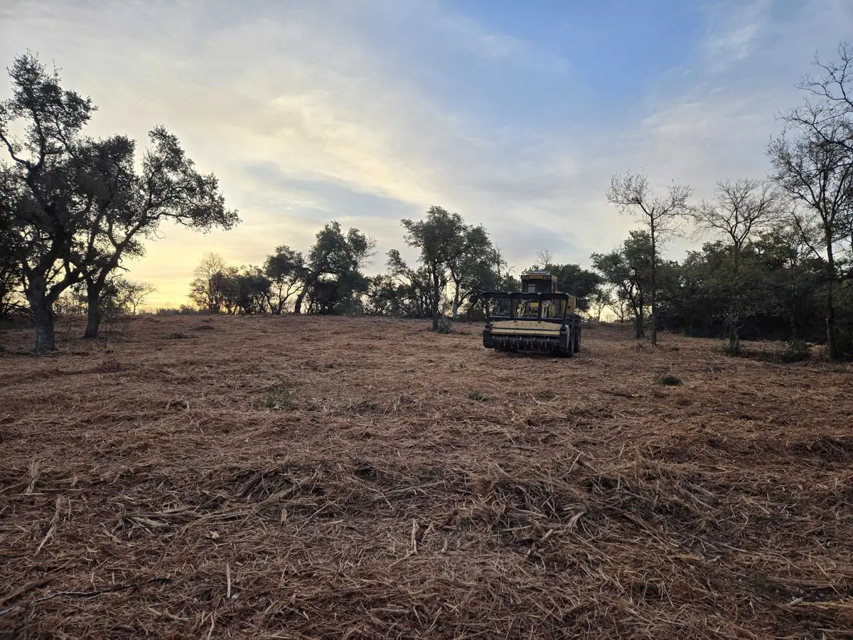
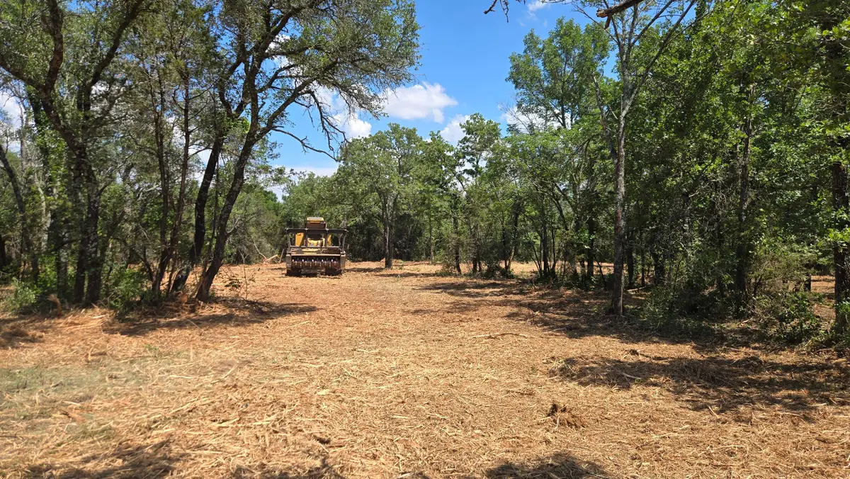
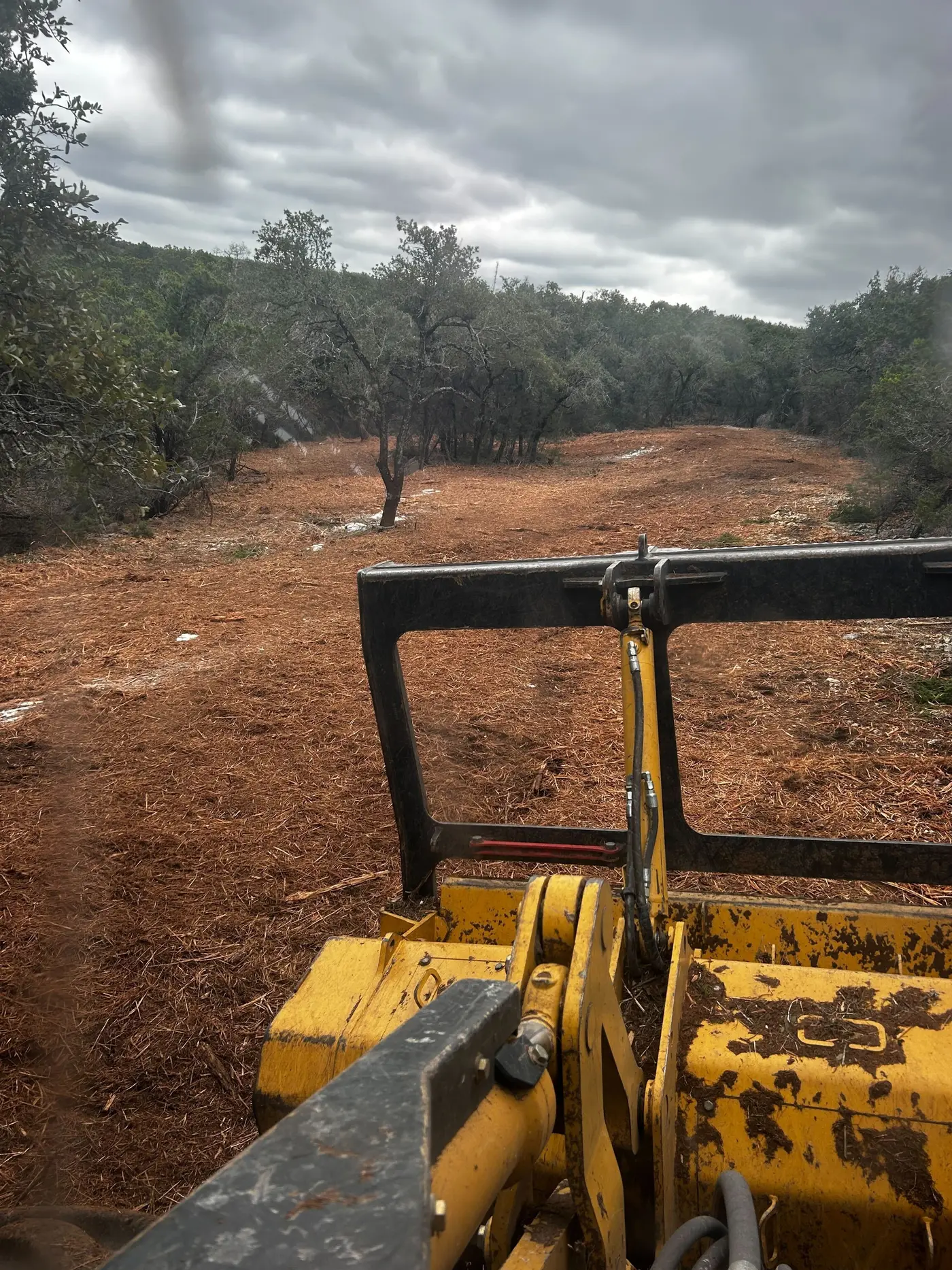
That shapes the clearing work. Farming is small, 66 farms in the 2022 Census of Agriculture, mostly cattle. The calls are for driveways and lanes up a hollow, a bench or reclaimed flat cleared for a house or camp, and hunting ground in a county that sits in the state elk restoration zone.