The land around Maysville
Maysville sits on a narrow river plain where Limestone Creek meets the Ohio, and right behind it the ridges climb more than 400 feet. The county plan puts Mason County in two regions: the Hills of the Bluegrass in the north and west, steep and cut by streams, and the rolling Outer Bluegrass across the middle and south around Washington and Mays Lick.
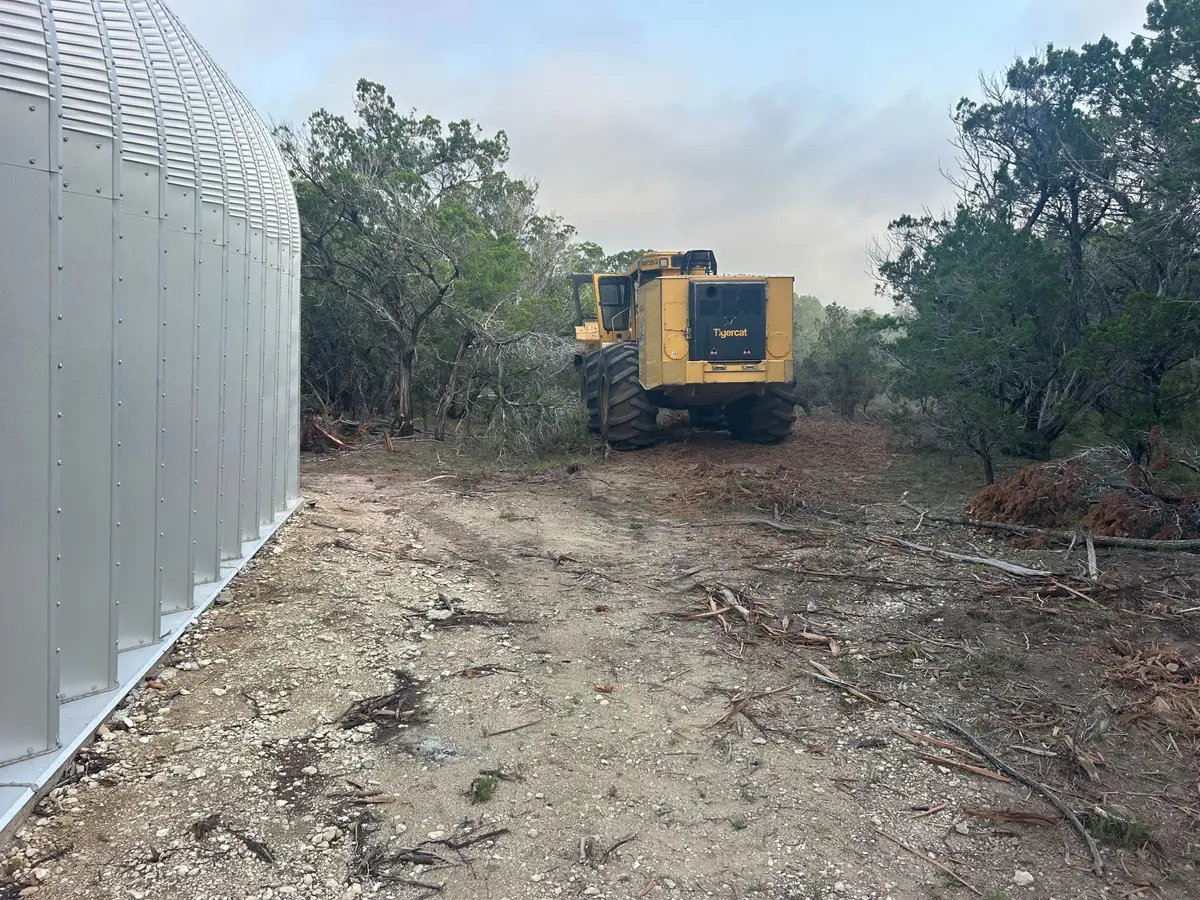
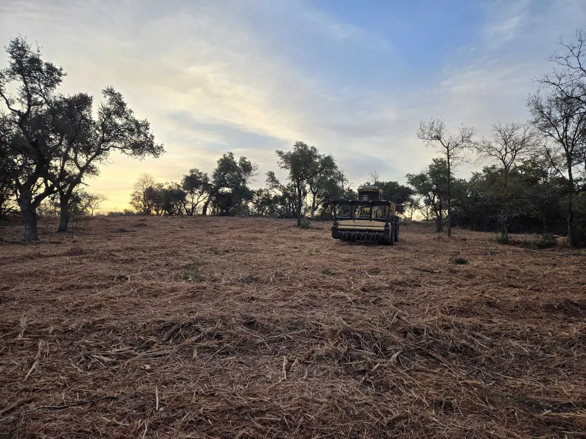
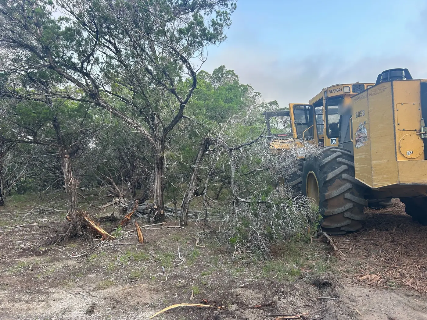
The plan counts about 4,000 acres of red cedar and hardwood forest and lists erosion as the main soil problem on most of the county. That fits UK forestry notes that eastern redcedar is one of the first trees to take over worn out fields and overgrazed, eroded slopes, and that birds spread its seed.
This is serious farm country. The 2022 Census of Agriculture counted 541 farms on 98,439 acres, 25,207 cattle, 23,774 acres of pasture and 813 acres of tobacco, the crop Maysville was built to ship.