The land around Morehead
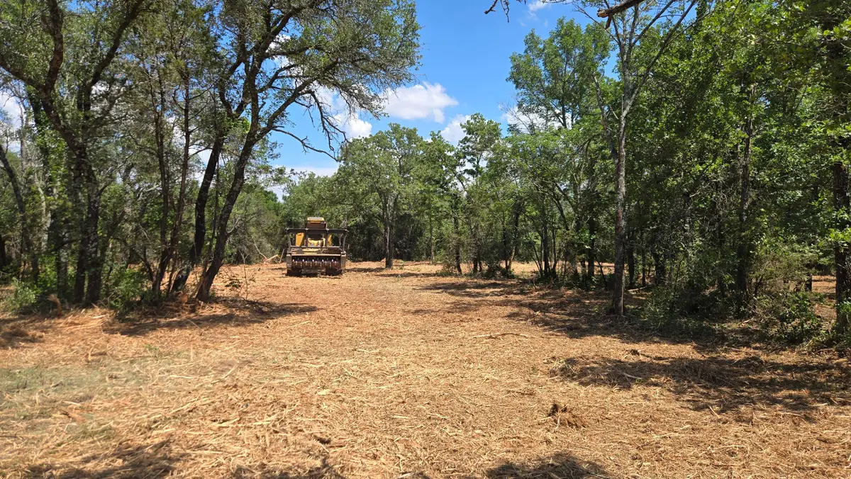
Morehead sits at about 750 feet near Triplett Creek, and the hills climb fast around it. KGS describes Rowan County as a mix of flat topped ridges in the west and hilly to mountainous ground toward the edge of the Eastern Kentucky Coal Field, where sandstone caps form near vertical bluffs. Limestone Knob, southwest of town, rises more than 700 feet above the creek.
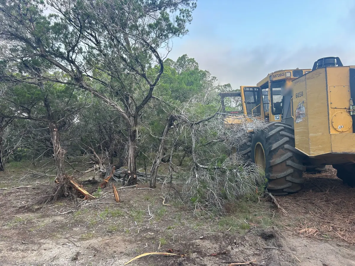
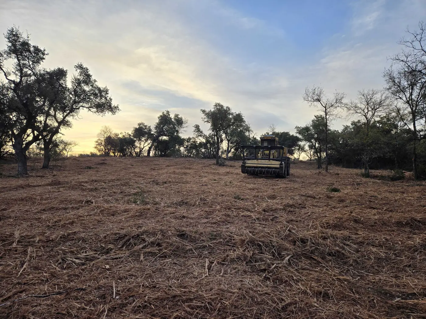
Much of the county is federal. Daniel Boone National Forest wraps around Cave Run Lake, the 8,270 acre reservoir on the Licking River whose dam the Corps of Engineers runs, and the Forest Service manages the shoreline and the land around it. Private tracts that border it are a big part of what gets cleared here.
Rowan County farms are small and wooded. The 2022 Census of Agriculture counted 277 farms with 17,061 acres of woodland, about half their land, against 5,872 acres of pasture, with hay the main crop.