The land around Mount Sterling
Mount Sterling sits at about 970 feet in the Outer Bluegrass, with Hinkston Creek running through the middle of town toward the Licking. KGS describes most of Montgomery County as rolling to hilly farm ground, but the east and south edges run up against the Eastern Kentucky Coal Field in high knobs, topping out at 1,447 feet on Westbrook Mountain south of Camargo.
This is cattle ground before anything else. The 2022 Census of Agriculture counted 19,175 cattle and calves, 26,854 acres of pasture and 18,142 acres of hay, with livestock bringing in 62 percent of farm sales across 528 farms.
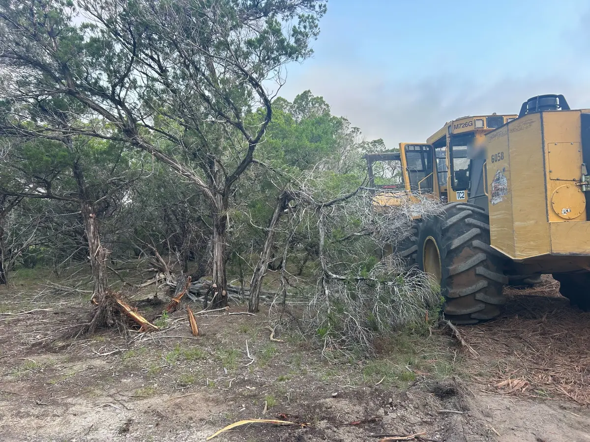
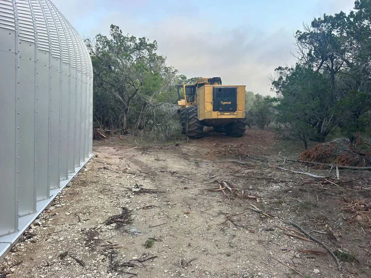
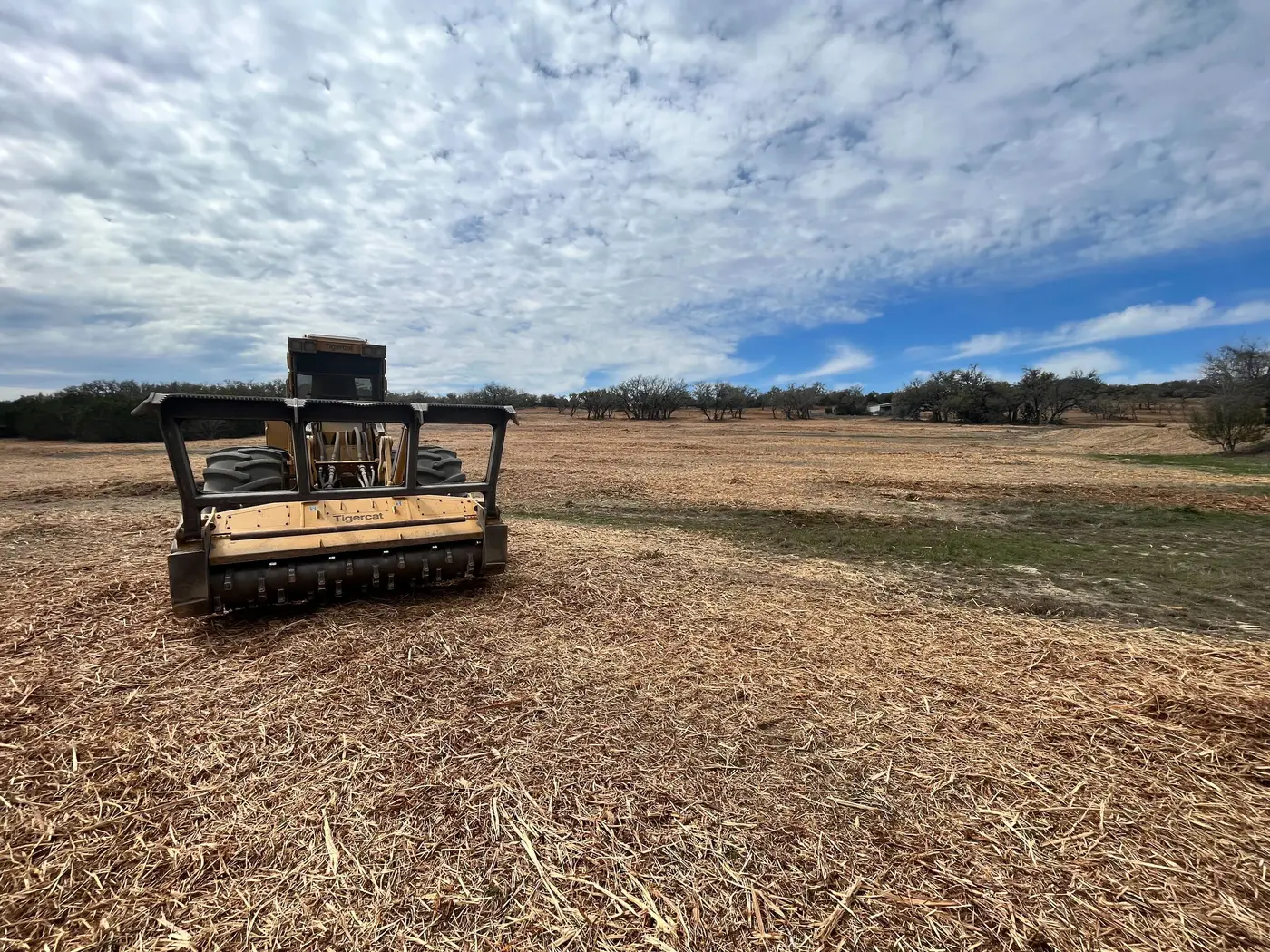
On that kind of farm the clearing calls are about fence and grass: fence rows that have grown into a wall of trees, and pasture edges where cedar and brush have moved in. UK forestry notes say eastern redcedar is one of the first trees into worn out and overgrazed fields statewide.