The land around Russellville
Logan County is two counties in one, and Russellville sits on the seam. The Kentucky Geological Survey describes the southern half as a karst plain at 600 to 650 feet and the northern half as higher, rougher ground, split by the escarpment, which rises about 150 feet above the plain. A line of knobs just south of US 68 between Auburn and Russellville are leftover pieces of that escarpment, and the highest point in the county, 868 feet, is one of them.
The two halves get used differently. The 2022 Census of Agriculture counted about 194,000 acres of cropland in Logan County, led by soybeans, corn and wheat, and more than 37,000 acres of woodland. The plain is open farm country. Above the escarpment the ground turns to sandstone ridges over cavernous limestone, a mix of forest, pasture and fields with sinkholes and springs in the valleys.
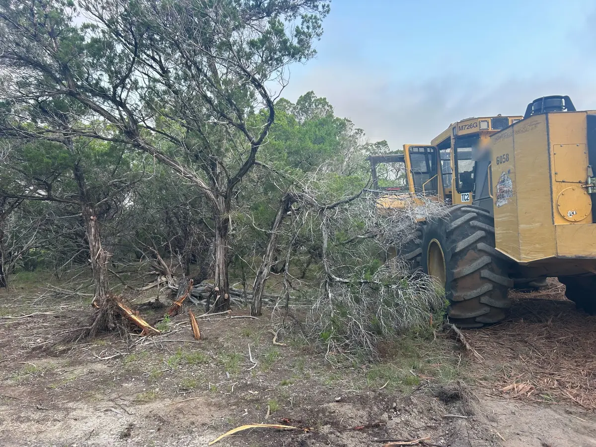
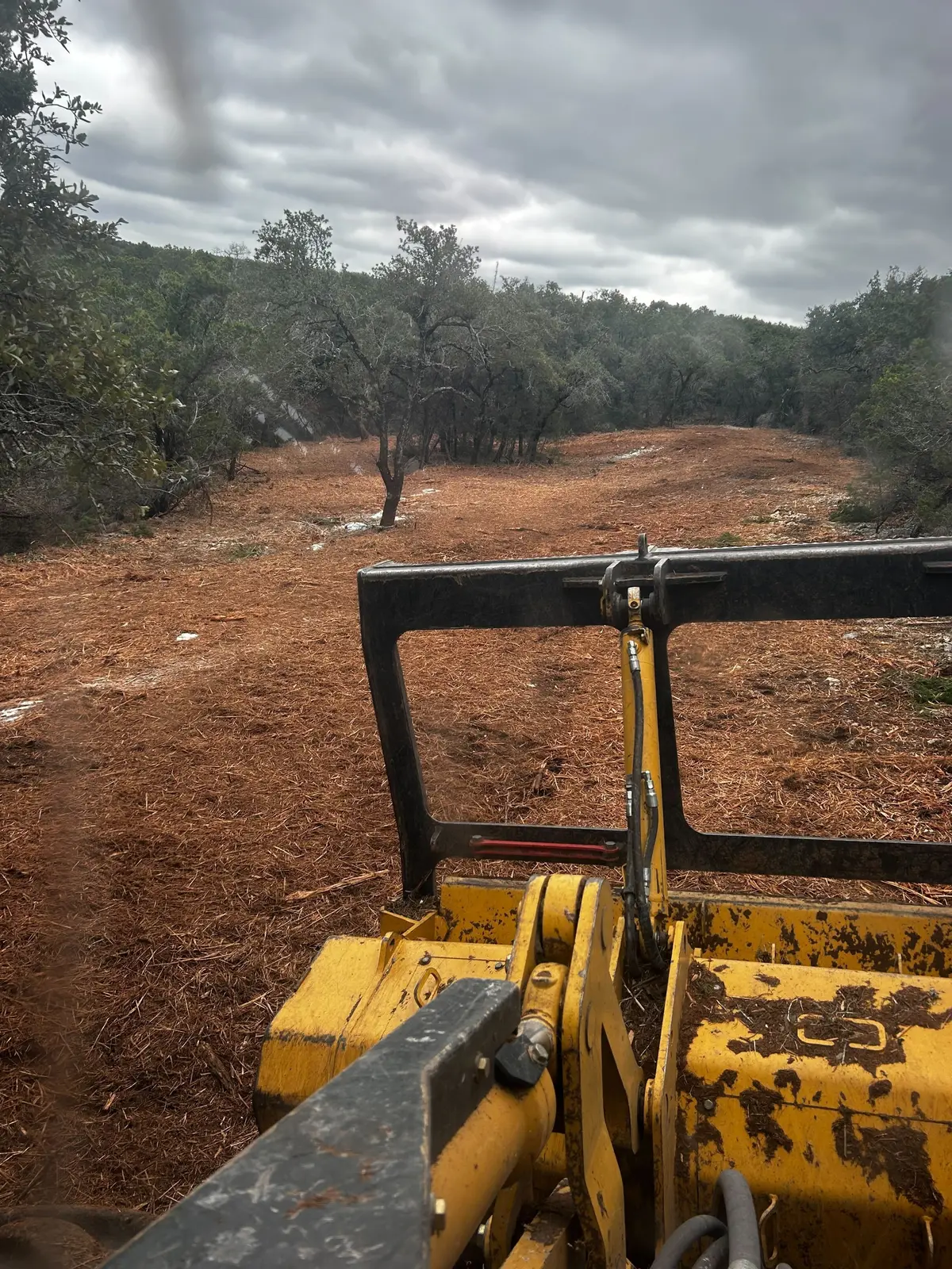
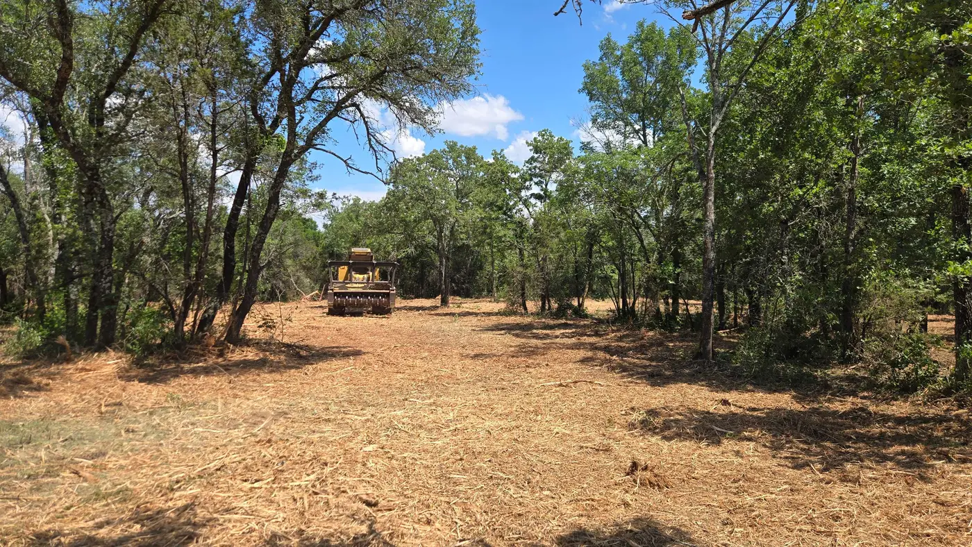
So the calls split too. Hunting tracts in the northern hills want plots, lanes and trails. Farms on the plain want cedar and brush off field edges and knobs that never got farmed.