The land around Franklin
Simpson County is mostly a gently rolling plain that drains underground. The Kentucky Geological Survey finds sinkhole topography in almost every part of the county, most pronounced in the central and western parts, with Franklin at 720 feet on the courthouse square. The one real hill is Pilot Knob near the northwest corner, which stands more than 200 feet over the plain at 928 feet.
This is grain country. The 2022 Census of Agriculture counted 94,329 acres of cropland in Simpson County against 4,820 acres of woodland, with soybeans, corn and wheat as the top three crops and crops making up three quarters of farm sales. The woods that are left sit mostly in fence rows, on field borders and around sinkholes too steep to farm.
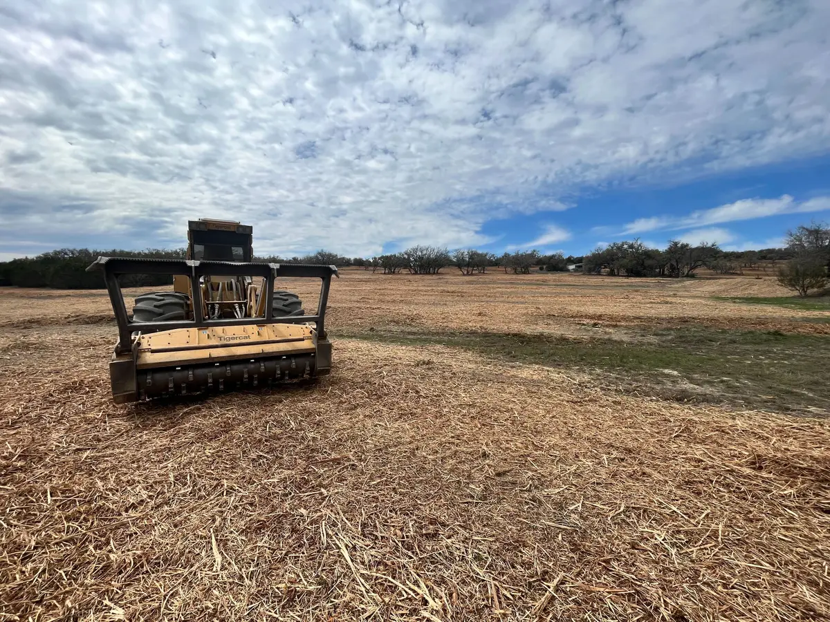
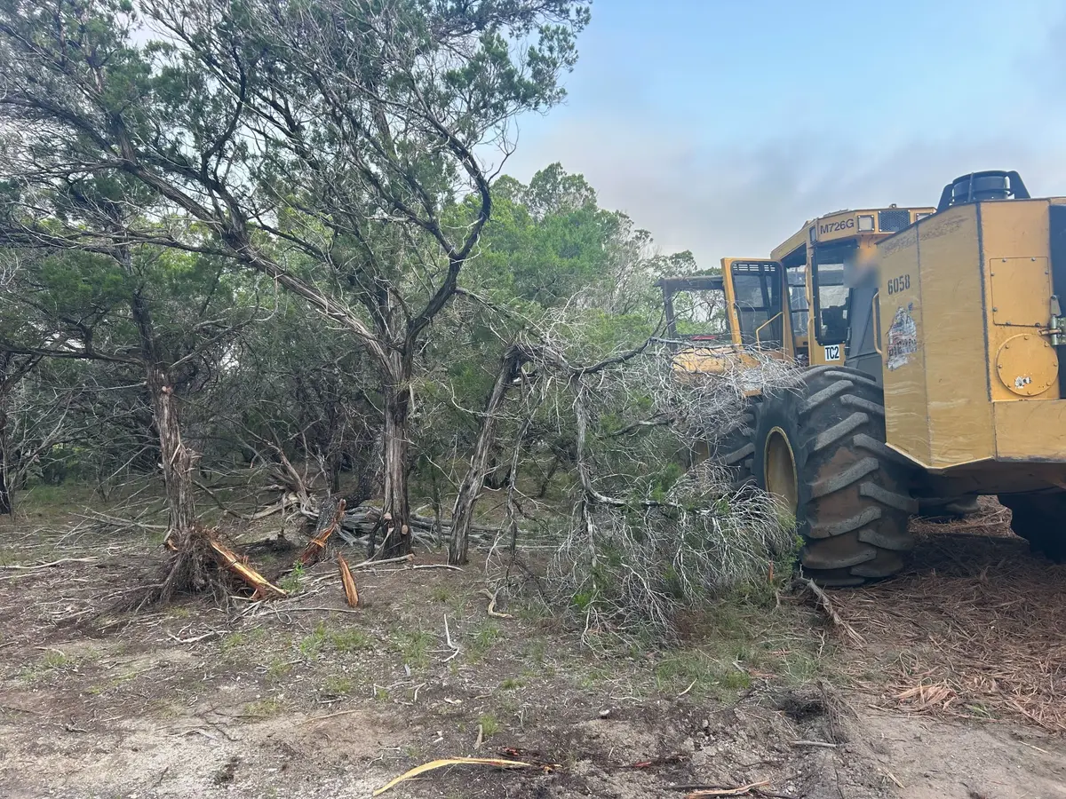
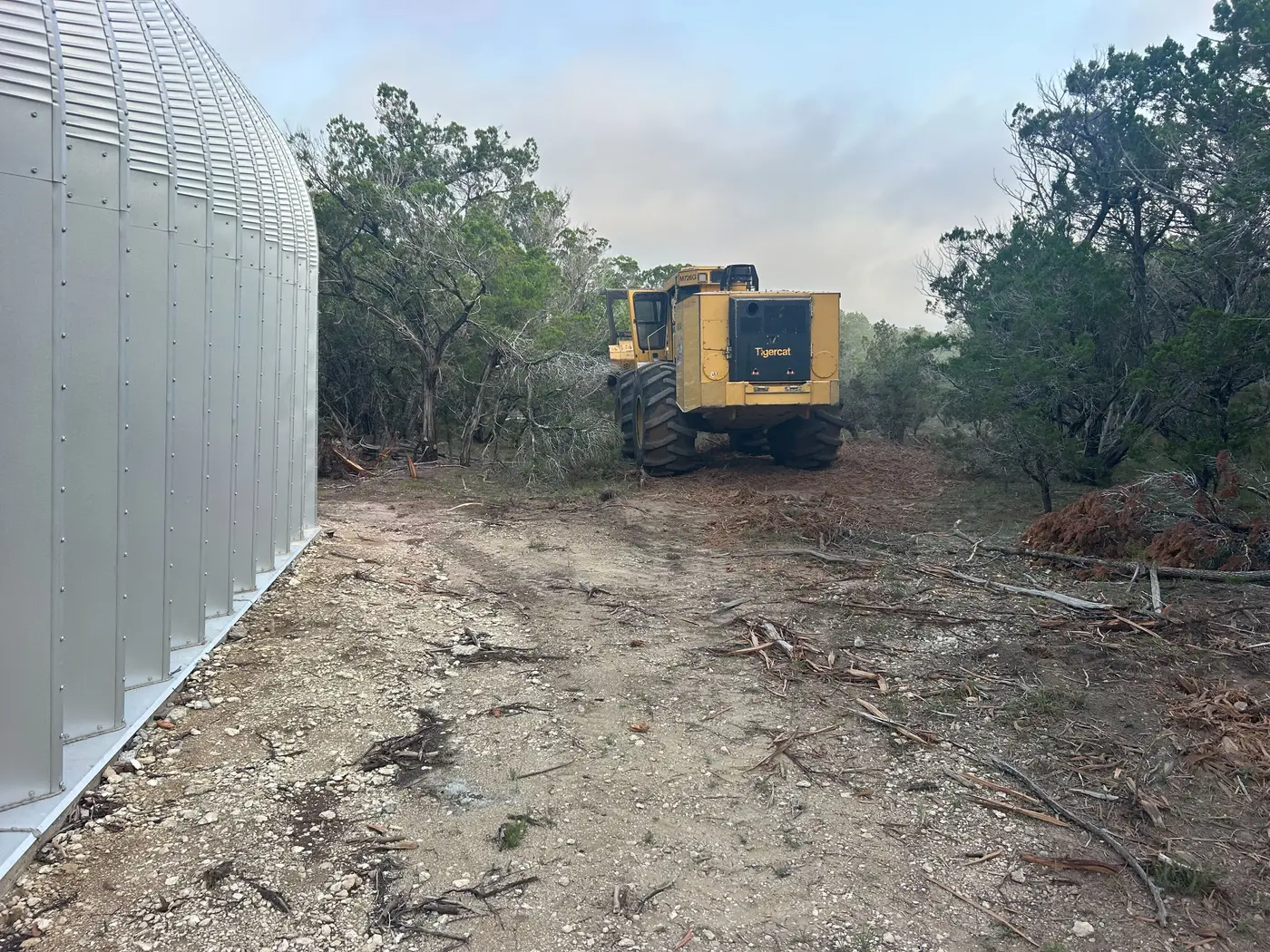
That shapes the work. Around Franklin, clearing is usually narrow and long: a fence row that has grown out into the field, a cedar and honeysuckle edge shading the outside rows, or a sinkhole that has filled with brush.