The land around Morgantown
Morgantown stands on a bluff above the Green River near the southeastern edge of the Western Kentucky Coal Field. The river is the shape of Butler County. It loops through the Great Bend, a meander almost nine miles long, and the Kentucky Geological Survey puts its flood plain at about 400 to 410 feet with valley flats up to a mile and a half wide and marshy old channels along the Green and Mud Rivers. On the river bluffs east of town the relief reaches 340 to 350 feet.
Off the bottoms the ground is sandstone and shale hills under a thin cap of loess, with less limestone than the Pennyroyal country to the south and east. The ecoregion is forest and pasture, and the woods stay: the 2022 Census of Agriculture counted 62,759 acres of woodland on Butler County farms, more than a third of all farmland, beside soybeans, corn, hay and broiler houses.
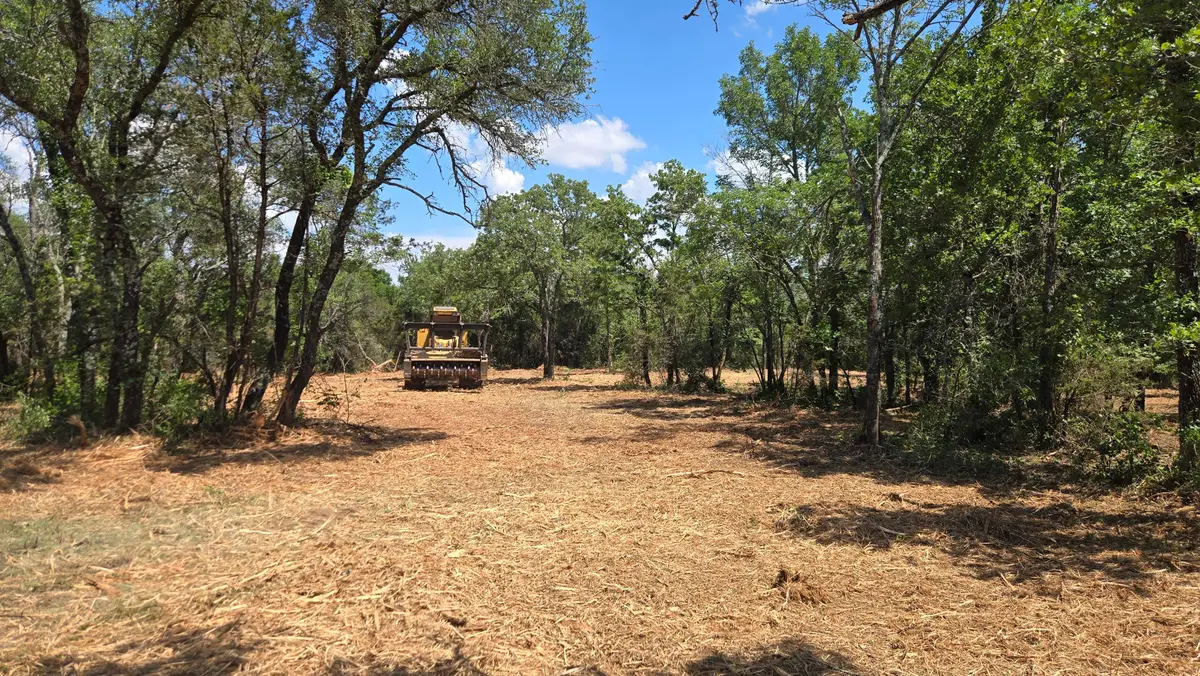
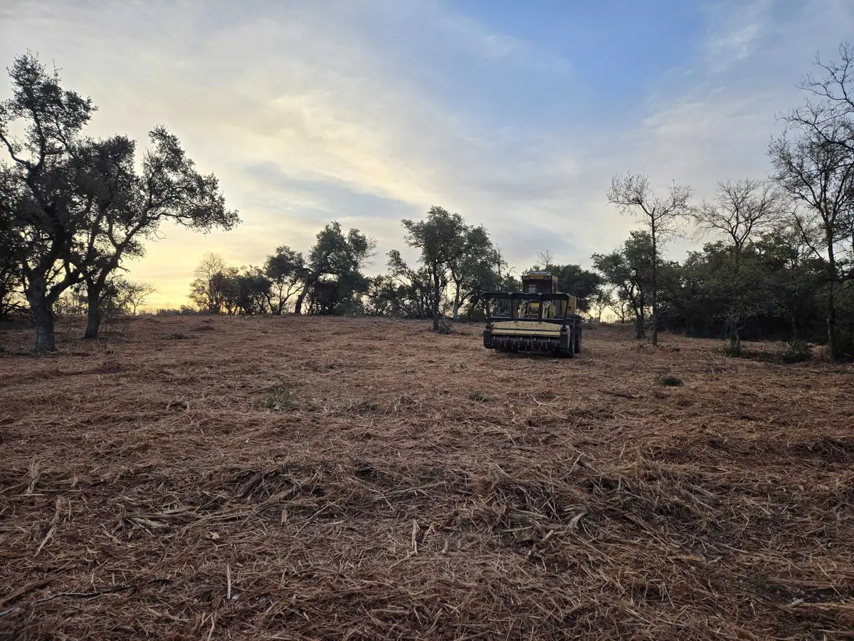
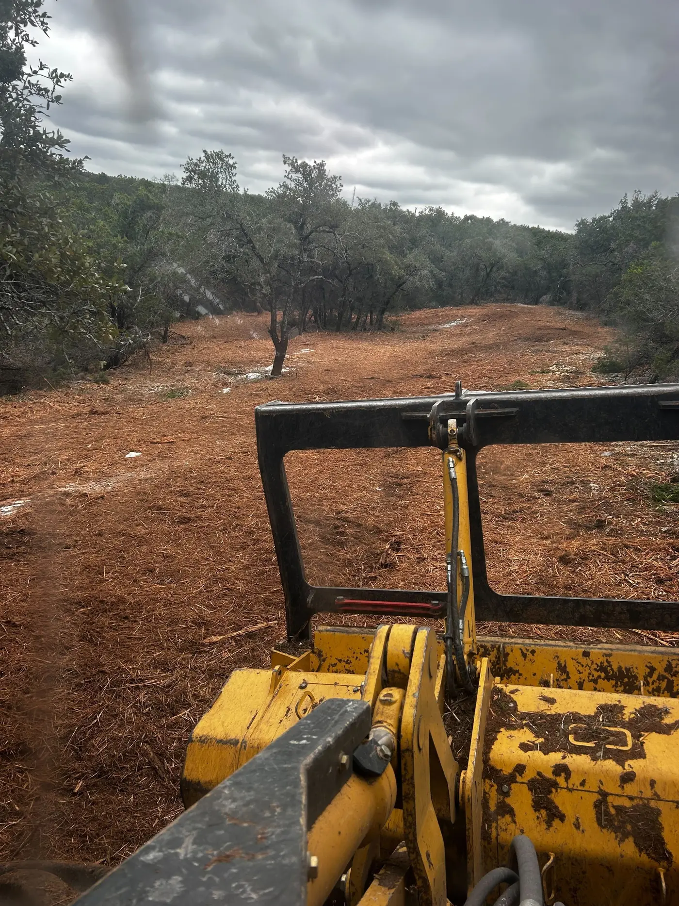
With that much timber on private farms, a lot of the clearing here happens in the woods: owners want to cut plots and trails, thin out brushy understory, and reopen hill pasture that has gone back toward woods.