The land around Winchester
Clark County sits on the line between the Inner and Outer Bluegrass, and its edges look nothing like its middle. On the south line the Kentucky River runs 300 to 400 feet below the upland under bold limestone bluffs, and the Red River is cut 200 to 300 feet deep. In the southwest corner, Lower Howard's Creek drops to the river through a gorge protected by a 423 acre state nature preserve.
Toward the east end the ground changes again. Old Indian Field is a broad flat at 780 to 800 feet between Upper Howard and Lulbegrud Creeks, and the northeast drains to the Licking. The county's high point, 1,120 feet, is on a ridge by KY 15 between Winchester and Pilot View.
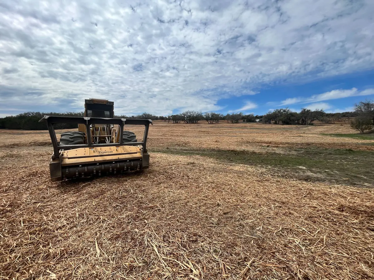
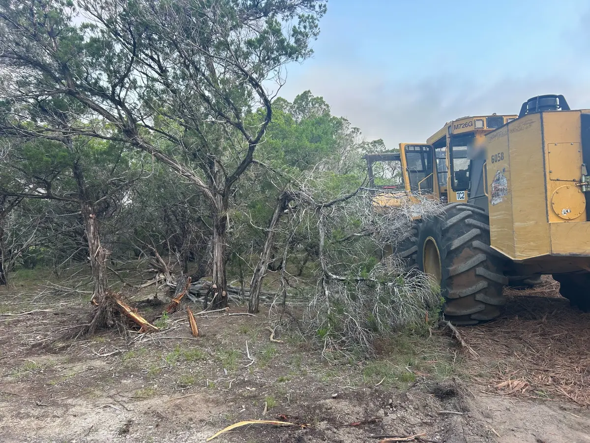
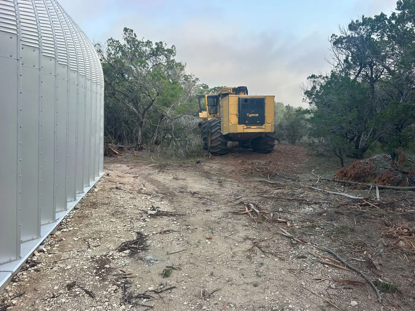
Clark farms mix their income. The 2022 Census of Agriculture counted 804 farms on 135,849 acres, with cattle the biggest source of sales, followed by horses and tobacco. A mixed farm means a lot of fence, and fence rows grown into cedar and brush are the most common call.